ဖိုင်:Relief Map of Turkmenistan.png
ဤနမူနာ၏ အရွယ်အစား - ၈၀၀ × ၅၆၈ ပစ်ဇယ်။ အခြား ပုံရိပ်ပြတ်သားမှု: ၃၂၀ × ၂၂၇ ပစ်ဇယ် | ၆၄၀ × ၄၅၄ ပစ်ဇယ် | ၁၀၂၄ × ၇၂၇ ပစ်ဇယ် | ၁၂၃၇ × ၈၇၈ ပစ်ဇယ်။
မူရင်းဖိုင် (၁၂၃၇ × ၈၇၈ pixels, ဖိုင်အရွယ်အစား - ၁.၀၇ MB, MIME အမျိုးအစား image/png)
| ဤဖိုင်သည် Wikimedia Commons မှဖြစ်ပြီး အခြားပရောဂျက်များတွင် သုံးကောင်းသုံးလိမ့်မည်။ ယင်း၏ ဖိုင်အကြောင်းစာမျက်နှာ တွင် ဖော်ပြထားချက်ကို အောက်တွင် ပြထားသည်။ Commons သည် မူပိုင်ခွင့်လွတ်လပ်သော မီဒီယာဖိုင်များ သိုလှောင်ထားရာ နေရာ ဖြစ်သည်။ သင်လည်း ပါဝင်ကူညီနိုင်ပါသည်။ |

|
This map image could be re-created using vector graphics as an SVG file. This has several advantages; see Commons:Media for cleanup for more information. If an SVG form of this image is available, please upload it and afterwards replace this template with
{{vector version available|new image name}}.
It is recommended to name the SVG file “Relief Map of Turkmenistan.svg”—then the template Vector version available (or Vva) does not need the new image name parameter. |
အကျဉ်းချုပ်
| ဖော်ပြချက် |
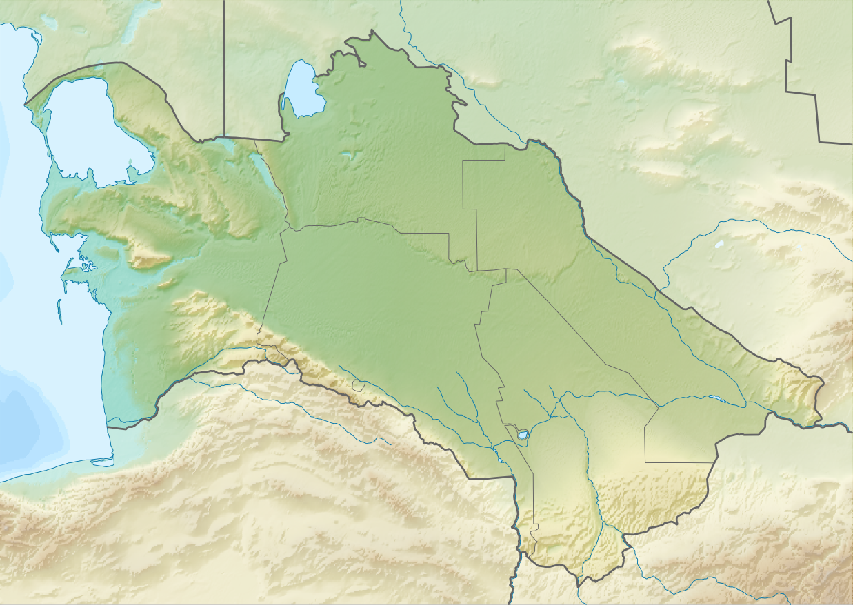
English: Relief map of Turkmenistan
Equirectangular projection, N/S stretching 130 %. Geographic limits of the map:
|
| ရက်စွဲ | |
| ရင်းမြစ် | |
| စာရေးသူ |
|
| ခွင့်ပြုချက် (ဤဖိုင်ကို ပြန်လည်အသုံးပြုခြင်း) |
ဤဖိုင်ကို Creative Commons Attribution-Share Alike 3.0 Unported လိုင်စင်ဖြင့် သတ်မှတ်ထားသည်။
|
ဖိုင်မှတ်တမ်း
ဖိုင်ကို ယင်းနေ့စွဲ အတိုင်း မြင်နိုင်ရန် နေ့စွဲ/အချိန် တစ်ခုခုပေါ်တွင် ကလစ်နှိပ်ပါ။
| နေ့စွဲ/အချိန် | နမူနာပုံငယ် | မှတ်တမ်း ဒိုင်မန်းရှင်းများ | အသုံးပြုသူ | မှတ်ချက် | |
|---|---|---|---|---|---|
| ကာလပေါ် | ၁၃:၁၄၊ ၂၇ ဩဂုတ် ၂၀၁၀ | | ၁၂၃၇ × ၈၇၈ (၁.၀၇ MB) | Виктор В | == {{int:filedesc}} == {{Information |Description={{en|Relief map of Turkmenistan}} Equirectangular projection, N/S stretching 130 %. Geographic limits of the map: * N: 43.2° N * S: 34.9° N * W: 52.0° E * E: 67.2° E |Source=*[[:Fi |
ဖိုင်သုံးစွဲမှု
အောက်ပါ 4 စာမျက်နှာများ သည် ဤဖိုင်ကို အသုံးပြုထားသည်:
ဂလိုဘယ် ဖိုင်သုံးစွဲမှု
အောက်ပါ အခြားဝီကီများတွင် ဤဖိုင်ကို အသုံးပြုထားသည်-
- ar.wikipedia.org တွင် အသုံးပြုမှု
- ast.wikipedia.org တွင် အသုံးပြုမှု
- av.wikipedia.org တွင် အသုံးပြုမှု
- azb.wikipedia.org တွင် အသုံးပြုမှု
- az.wikipedia.org တွင် အသုံးပြုမှု
- Şablon:Yer xəritəsi Türkmənistan
- Qaraqum səhrası
- Aşqabad zəlzələsi (1948)
- Kopetdağ
- Çələkən Oğurçalı boğazı
- Çələkən yarımadası
- Türkmənbaşı yarımadası
- Dərdcə yarımadası
- Oğurca
- Cənub-şərqi Qaraqum
- Sandıqlı çölü
- Zaunquz Qaraqumu
- Mərkəzi Qaraqum
- Sarıqamış gölü
- Altın əsr
- Qaraboğazgöl boğazı
- Baharlı mağarası
- Böyük oyun
- ba.wikipedia.org တွင် အသုံးပြုမှု
- be-tarask.wikipedia.org တွင် အသုံးပြုမှု
- be.wikipedia.org တွင် အသုံးပြုမှု
- bg.wikipedia.org တွင် အသုံးပြုမှု
ဤဖိုင်ကို အခြားနေရာများတွင် အသုံးပြုထားမှုများအား ကြည့်ရှုရန်။