ဖိုင်:Fukushima-ken géolocalisation.svg

Size of this PNG preview of this SVG file: ၆၈၃ × ၆၀၀ ပစ်ဇယ်. အခြား ပုံရိပ်ပြတ်သားမှု: ၂၇၃ × ၂၄၀ ပစ်ဇယ် | ၅၄၇ × ၄၈၀ ပစ်ဇယ် | ၈၇၅ × ၇၆၈ ပစ်ဇယ် | ၁၁၆၇ × ၁၀၂၄ ပစ်ဇယ် | ၂၃၃၃ × ၂၀၄၈ ပစ်ဇယ် | ၁၇၁၉ × ၁၅၀၉ ပစ်ဇယ်။
မူရင်းဖိုင် (SVG ဖိုင်, ၁၇၁၉ × ၁၅၀၉ pixels ကို အကြံပြုသည်, ဖိုင်အရွယ်အစား - ၂.၉၉ MB)
| ဤဖိုင်သည် Wikimedia Commons မှဖြစ်ပြီး အခြားပရောဂျက်များတွင် သုံးကောင်းသုံးလိမ့်မည်။ ယင်း၏ ဖိုင်အကြောင်းစာမျက်နှာ တွင် ဖော်ပြထားချက်ကို အောက်တွင် ပြထားသည်။ Commons သည် မူပိုင်ခွင့်လွတ်လပ်သော မီဒီယာဖိုင်များ သိုလှောင်ထားရာ နေရာ ဖြစ်သည်။ သင်လည်း ပါဝင်ကူညီနိုင်ပါသည်။ |
အကျဉ်းချုပ်
| Camera location | | View this and other nearby images on: OpenStreetMap |
|---|
| ဖော်ပြချက် |
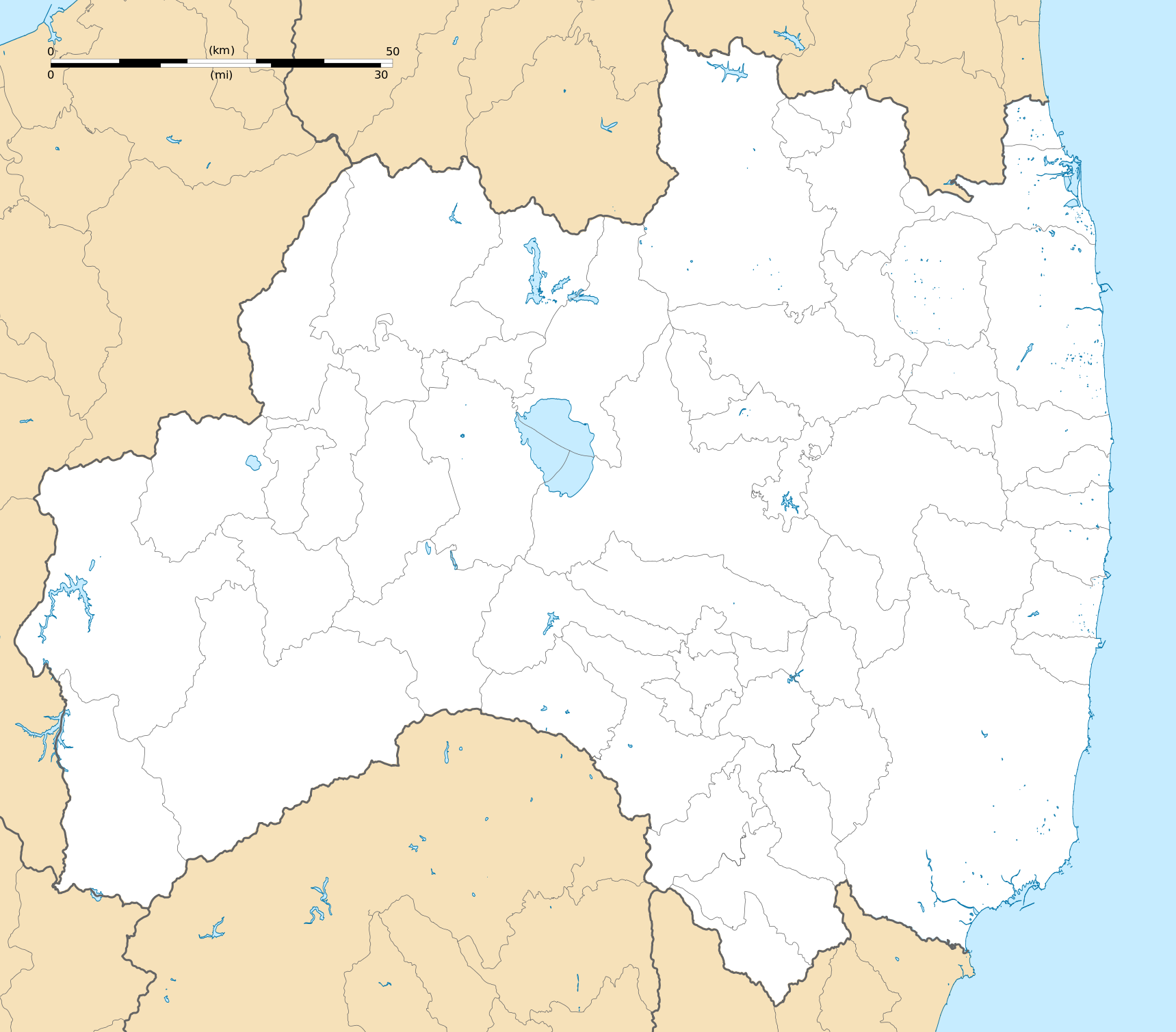
Deutsch: Karte der Präfektur Fukushima.
English: Blank map of the Fukushima Prefecture, for geolocalisation purpose.
Español: Mapa de la Prefectura de Fukushima.
Italiano: Mappa della Prefettura di Fukushima.
日本語: 福島県の地図.
한국어: 후쿠시마현의 지도이다.
Português: Carta de la província de Fukushima.
|
||
| ရက်စွဲ | (UTC) | ||
| ရင်းမြစ် |
Création personnelle ;
|
||
| စာရေးသူ | © Bourrichon (talk) - fr:Bourrichon | ||
| ခွင့်ပြုချက် (ဤဖိုင်ကို ပြန်လည်အသုံးပြုခြင်း) |
|
||
| အခြား ဗားရှင်းများ | File:Fukushima-ken géolocalisation relief.svg |
This W3C-unspecified vector image was created with Inkscape .
လိုင်စင်သတ်မှတ်ခြင်း
ကျွန်ုပ်၊ ဤလုပ်ဆောင်ချက်၏ မူပိုင်ခွင့်ပိုင်ရှင်အနေဖြင့် ဤနေရာမှ အောက်ပါလိုင်စင်အောက်တွင် ထုတ်လွှင့်ပါသည်:
ဤဖိုင်သည် Creative Commons Attribution-Share Alike 2.0 ပြင်သစ် လိုင်စင်အောက်တွင် လိုင်စင်သတ်မှတ်ထားပါသည်။
မှတ်ယူနိုင်ခြင်း: Bourrichon (atelier graphique)
- သင်သည် လွတ်လပ်စွာ:
- မျှဝေရန် – ဖန်တီးမှုကို ကူးယူရန်၊ ဖြန့်ဖြူးရန်နှင့် ထုတ်လွှင့်ရန်
- ပြန်ရောနှောရန် – ဖန်တီးမှုကို ပြင်ဆင်ညှိနှိုင်းရန်
- အောက်ပါ အခြေအနေများတွင်:
- မှတ်ယူနိုင်ခြင်း – ပြောင်းလဲမှုများ ပြုလုပ်ခဲ့ပါက ဖန်တီးသူ သို့မဟုတ် လိုင်စင်ရှိသူမှ သတ်မှတ်သော အမျိုးအစားကို လိုက်နာရမည် (ဆိုလိုသည်မှာ သင့်အား သို့မဟုတ် သင့်ဖန်တီးမှုတွင် အသုံးပြုခြင်းအား ထောက်ခံချက်ပေးသည်ဟု မဆိုလိုပါ)။
- ထပ်တူမျှဝေ – ဤဖန်တီးမှုအား ပြင်ဆင်ခြင်း၊ ပြောင်းလဲခြင်း သို့မဟုတ် ထပ်ဆင့် ဖန်တီးခြင်း ပြုလုပ်ပါက ရရှိလာသော ဖန်တီးမှုကို ဤဖန်တီးမှုနှင့် သို့မဟုတ် ဆင်တူသော လိုင်စင်ဖြင့်သာ ဖြန့်ချိသင့်သည်။

| Annotations | This image is annotated: View the annotations at Commons |
ဖိုင်မှတ်တမ်း
ဖိုင်ကို ယင်းနေ့စွဲ အတိုင်း မြင်နိုင်ရန် နေ့စွဲ/အချိန် တစ်ခုခုပေါ်တွင် ကလစ်နှိပ်ပါ။
| နေ့စွဲ/အချိန် | နမူနာပုံငယ် | မှတ်တမ်း ဒိုင်မန်းရှင်းများ | အသုံးပြုသူ | မှတ်ချက် | |
|---|---|---|---|---|---|
| ကာလပေါ် | ၁၅:၁၉၊ ၁၀ ဇူလိုင် ၂၀၁၃ | | ၁၇၁၉ × ၁၅၀၉ (၂.၉၉ MB) | Bourrichon | == {{int:filedesc}} == {{Location|37|00|00|N|140|00|00|E|scale:10000}} {{Information |Description= {{fr|Carte vierge de la fr:Préfecture de Fukushima, au Japon, destinée à la géolocalisation.}} {{de|Karte der [[:de:Präfektur F... |
ဖိုင်သုံးစွဲမှု
အောက်ပါ စာမျက်နှာ သည် ဤဖိုင်ကို အသုံးပြုထားသည်:
ဂလိုဘယ် ဖိုင်သုံးစွဲမှု
အောက်ပါ အခြားဝီကီများတွင် ဤဖိုင်ကို အသုံးပြုထားသည်-
- ar.wikipedia.org တွင် အသုံးပြုမှု
- ceb.wikipedia.org တွင် အသုံးပြုမှု
- de.wikipedia.org တွင် အသုံးပြုမှု
- en.wikipedia.org တွင် အသုံးပြုမှု
- Fukushima Station (Fukushima)
- Fukushima Airport
- Shin-Shirakawa Station
- Kōriyama Station (Fukushima)
- Sasakino Station
- Niwasaka Station
- Akaiwa Station
- Iwaki Station (Fukushima)
- Nakoso Station
- Yumoto Station
- Uchigō Station
- Yotsukura Station
- Hisanohama Station
- Suetsugi Station
- Ueda Station (Fukushima)
- Izumi Station (Iwaki)
- Kusano Station (Fukushima)
- Nittaki Station
- Soma Station
- Komagamine Station
- Shinchi Station
- Hirono Station (Fukushima)
- Kido Station
- Tatsuta Station
- Tomioka Station
- Yonomori Station
- Aizu-Wakamatsu Station
- Futaba Station
- Namie Station
- Momouchi Station
- Odaka Station
- Iwaki-Ōta Station
- Haranomachi Station
- Kashima Station (Fukushima)
- Ōno Station (Fukushima)
- Fukushima University
- Shirasaka Station
- Shirakawa Station
- Kutano Station
- Izumizaki Station
- Yabuki Station
- Kagamiishi Station
- Sukagawa Station
ဤဖိုင်ကို အခြားနေရာများတွင် အသုံးပြုထားမှုများအား ကြည့်ရှုရန်။