ဖိုင်:United Arab Emirates location map.svg

မူရင်းဖိုင် (SVG ဖိုင်, ၁၂၂၈ × ၁၀၅၆ pixels ကို အကြံပြုသည်, ဖိုင်အရွယ်အစား - ၁၅၂ KB)
| ဤဖိုင်သည် Wikimedia Commons မှဖြစ်ပြီး အခြားပရောဂျက်များတွင် သုံးကောင်းသုံးလိမ့်မည်။ ယင်း၏ ဖိုင်အကြောင်းစာမျက်နှာ တွင် ဖော်ပြထားချက်ကို အောက်တွင် ပြထားသည်။ Commons သည် မူပိုင်ခွင့်လွတ်လပ်သော မီဒီယာဖိုင်များ သိုလှောင်ထားရာ နေရာ ဖြစ်သည်။ သင်လည်း ပါဝင်ကူညီနိုင်ပါသည်။ |
အကျဉ်းချုပ်
| ဖော်ပြချက် |
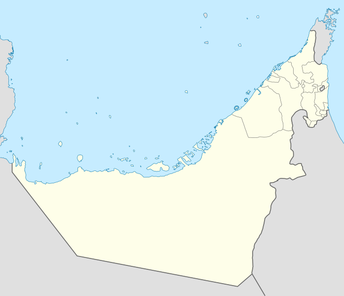
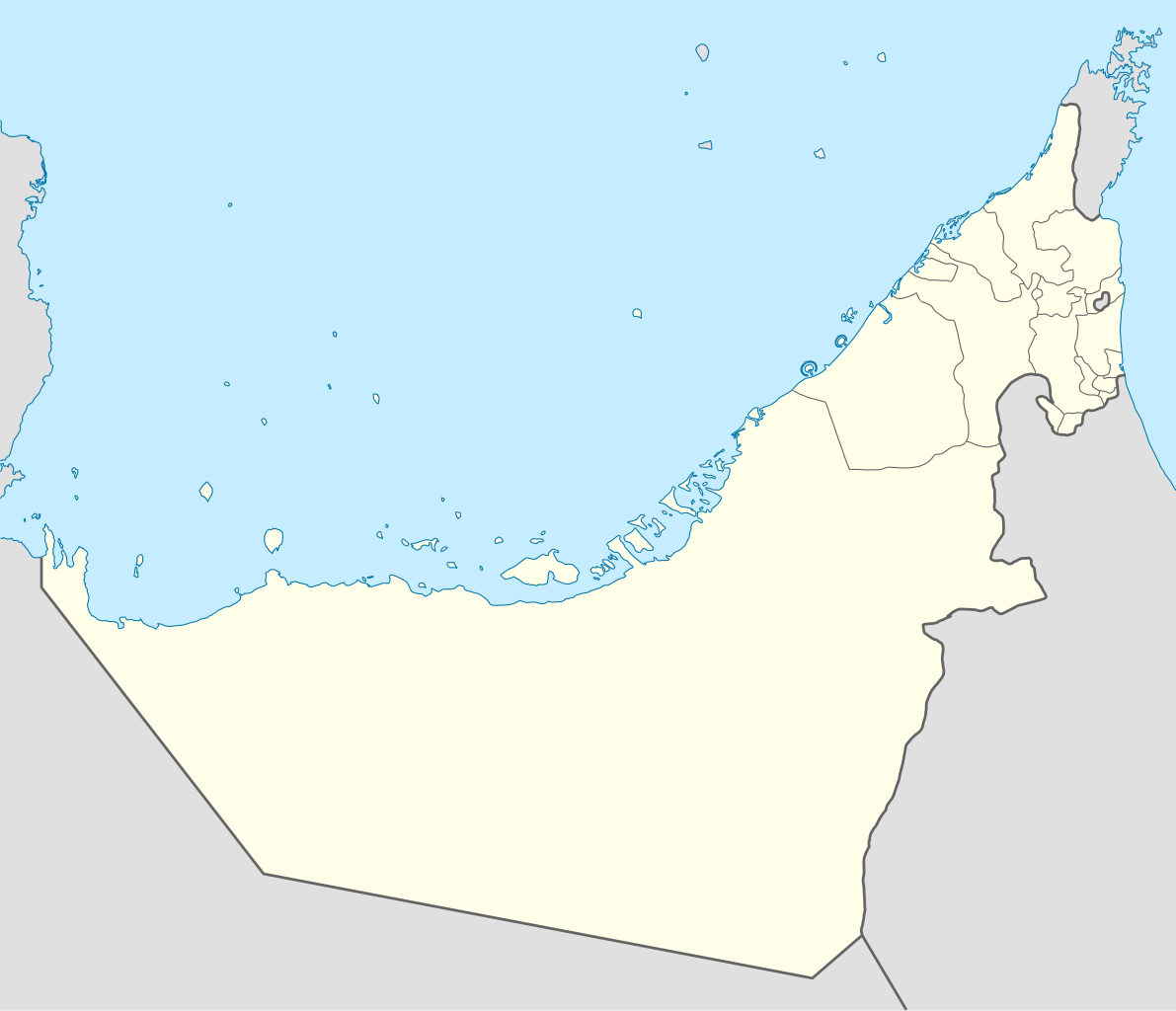
Deutsch: Positionskarte der Vereinigten Arabischen Emirate
Quadratische Plattkarte, N-S-Streckung 109 %. Geographische Begrenzung der Karte:
Equirectangular projection, N/S stretching 109 %. Geographic limits of the map:
|
|
| ရက်စွဲ | ||
| ရင်းမြစ် |
ကိုယ်ပိုင်ဖန်တီးမှု, using
|
|
| စာရေးသူ | NordNordWest | |
| ခွင့်ပြုချက် (ဤဖိုင်ကို ပြန်လည်အသုံးပြုခြင်း) |
ဤဖိုင်သည် Creative Commons Attribution-Share Alike 3.0 ဂျာမနီ လိုင်စင်အောက်တွင် လိုင်စင်သတ်မှတ်ထားပါသည်။
 ဤဖိုင်သည် Creative Commons Attribution-Share Alike 3.0 ဂျာမနီ လိုင်စင်အောက်တွင် လိုင်စင်သတ်မှတ်ထားပါသည်။
|
|
| အခြား ဗားရှင်းများ |
|


|
This map has been made or improved in the German Kartenwerkstatt (Map Lab). You can propose maps to improve as well.
|
ဖိုင်မှတ်တမ်း
ဖိုင်ကို ယင်းနေ့စွဲ အတိုင်း မြင်နိုင်ရန် နေ့စွဲ/အချိန် တစ်ခုခုပေါ်တွင် ကလစ်နှိပ်ပါ။
| နေ့စွဲ/အချိန် | နမူနာပုံငယ် | မှတ်တမ်း ဒိုင်မန်းရှင်းများ | အသုံးပြုသူ | မှတ်ချက် | |
|---|---|---|---|---|---|
| ကာလပေါ် | ၀၉:၁၉၊ ၃ မတ် ၂၀၁၈ | | ၁၂၂၈ × ၁၀၅၆ (၁၅၂ KB) | Shahin | Reverted to version as of 14:50, 6 August 2013 (UTC) |
| ၀၉:၁၈၊ ၃ မတ် ၂၀၁၈ |  | ၁၂၂၈ × ၁၀၅၆ (၁၅၁ KB) | Shahin | 2017 update | |
| ၁၄:၅၀၊ ၆ ဩဂုတ် ၂၀၁၃ |  | ၁၂၂၈ × ၁၀၅၆ (၁၅၂ KB) | Chipmunkdavis | Reverted to version as of 09:37, 5 May 2013 Google maps also shows a little bend | |
| ၁၄:၄၅၊ ၆ ဩဂုတ် ၂၀၁၃ |  | ၁၂၂၈ × ၁၀၅၆ (၂၃၈ KB) | Chipmunkdavis | Reverting to version with border that matches http://www.emirates.org/the_country.html | |
| ၀၉:၃၇၊ ၅ မေ ၂၀၁၃ |  | ၁၂၂၈ × ၁၀၅၆ (၁၅၂ KB) | NordNordWest | Reverted to version as of 14:16, 14 August 2012; location maps never get labelled | |
| ၀၇:၄၆၊ ၅ မေ ၂၀၁၃ |  | ၁၂၂၈ × ၁၀၅၆ (၂၁၂ KB) | Fatemi | Reverted to version as of 07:40, 5 May 2013 | |
| ၀၇:၄၄၊ ၅ မေ ၂၀၁၃ |  | ၁၂၂၈ × ၁၀၅၆ (၂၁၂ KB) | Fatemi | labled | |
| ၀၇:၄၀၊ ၅ မေ ၂၀၁၃ |  | ၁၂၂၈ × ၁၀၅၆ (၂၁၂ KB) | Fatemi | new version | |
| ၁၄:၁၆၊ ၁၄ ဩဂုတ် ၂၀၁၂ |  | ၁၂၂၈ × ၁၀၅၆ (၁၅၂ KB) | NordNordWest | c | |
| ၂၀:၀၂၊ ၂ နိုဝင်ဘာ ၂၀၀၉ |  | ၁၂၂၈ × ၁၀၅၆ (၂၃၈ KB) | NordNordWest |
ဖိုင်သုံးစွဲမှု
အောက်ပါ 3 စာမျက်နှာများ သည် ဤဖိုင်ကို အသုံးပြုထားသည်:
ဂလိုဘယ် ဖိုင်သုံးစွဲမှု
အောက်ပါ အခြားဝီကီများတွင် ဤဖိုင်ကို အသုံးပြုထားသည်-
- af.wikipedia.org တွင် အသုံးပြုမှု
- als.wikipedia.org တွင် အသုံးပြုမှု
- ar.wikipedia.org တွင် အသုံးပြုမှု
- كأس آسيا 1996
- الدوري الإماراتي للمحترفين
- قالب:خريطة مواقع الإمارات العربية المتحدة
- كأس العالم للأندية 2010
- الدوري الإماراتي 2010–11
- كأس العالم تحت 17 سنة لكرة القدم 2013
- الدوري الإماراتي 2011–12
- كأس آسيا 2019
- بطولة العالم للشباب لكرة القدم 2003
- الدوري الإماراتي 2012–13
- كأس العالم للأندية 2017
- كأس العالم للأندية 2018
- جزيرة زركوه
- جزيرة دينا
- جزيرة قرنين
- جزيرة عش
- نهائي كأس العالم للأندية 2018
- كأس العالم للأندية 2021
- الدوري الإماراتي للمحترفين 2021–22
- الدوري الإماراتي 2023–24
- دوري الدرجة الأولى الإماراتي 2015–16
- كأس السوبر السعودي 2023
- ast.wikipedia.org တွင် အသုံးပြုမှု
- Dubái
- The World
- Burj Al Arab
- Burj Khalifa
- Abu Dhabi
- Guggenheim Abu Dhabi
- Islla de Saadiyat
- Marina 101
- Princess Tower
- 23 Marina
- Centru Dubái
- Islla de Yas
- Circuitu Yas Marina
- Módulu:Mapa de llocalización/datos/Emiratos Árabes Xuníos
- Módulu:Mapa de llocalización/datos/Emiratos Árabes Xuníos/usu
- Aeropuertu Internacional de Dubái
- Aeropuertu Internacional d'Abu Dhabi
ဤဖိုင်ကို အခြားနေရာများတွင် အသုံးပြုထားမှုများအား ကြည့်ရှုရန်။