ဖိုင်:20200303 제9회 국무회의(영상회의실) 01.jpg

ဤနမူနာ၏ အရွယ်အစား - ၈၀၀ × ၅၃၃ ပစ်ဇယ်။ အခြား ပုံရိပ်ပြတ်သားမှု: ၃၂၀ × ၂၁၃ ပစ်ဇယ် | ၆၄၀ × ၄၂၇ ပစ်ဇယ် | ၁၀၂၄ × ၆၈၃ ပစ်ဇယ် | ၁၂၈၀ × ၈၅၃ ပစ်ဇယ် | ၂၅၆၀ × ၁၇၀၇ ပစ်ဇယ် | ၃၆၀၀ × ၂၄၀၀ ပစ်ဇယ်။
မူရင်းဖိုင် (၃၆၀၀ × ၂၄၀၀ pixels, ဖိုင်အရွယ်အစား - ၂.၀၉ MB, MIME အမျိုးအစား image/jpeg)
| ဤဖိုင်သည် Wikimedia Commons မှဖြစ်ပြီး အခြားပရောဂျက်များတွင် သုံးကောင်းသုံးလိမ့်မည်။ ယင်း၏ ဖိုင်အကြောင်းစာမျက်နှာ တွင် ဖော်ပြထားချက်ကို အောက်တွင် ပြထားသည်။ Commons သည် မူပိုင်ခွင့်လွတ်လပ်သော မီဒီယာဖိုင်များ သိုလှောင်ထားရာ နေရာ ဖြစ်သည်။ သင်လည်း ပါဝင်ကူညီနိုင်ပါသည်။ |
_01.jpg)
အကျဉ်းချုပ်
| ဖော်ပြချက် | |
| ရက်စွဲ | |
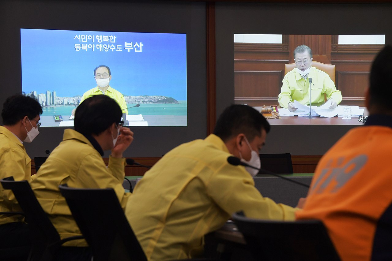
| ရင်းမြစ် | http://www.busan.go.kr/pr/photobodo/ |
| စာရေးသူ | Busan Metropolitan City |
| Camera location | | View this and other nearby images on: OpenStreetMap |
|---|
_01.jpg¶ms=035.179791_N_0129.072798_E_globe:Earth_type:camera__&language=my)
လိုင်စင်သတ်မှတ်ခြင်း

|
This file is licensed under the Korea Open Government License Type I: Attribution.
|
|
ဖိုင်မှတ်တမ်း
ဖိုင်ကို ယင်းနေ့စွဲ အတိုင်း မြင်နိုင်ရန် နေ့စွဲ/အချိန် တစ်ခုခုပေါ်တွင် ကလစ်နှိပ်ပါ။
| နေ့စွဲ/အချိန် | နမူနာပုံငယ် | မှတ်တမ်း ဒိုင်မန်းရှင်းများ | အသုံးပြုသူ | မှတ်ချက် | |
|---|---|---|---|---|---|
| ကာလပေါ် | ၀၇:၂၂၊ ၄ မတ် ၂၀၂၀ | | ၃၆၀၀ × ၂၄၀၀ (၂.၀၉ MB) | Choikwangmo9 | User created page with UploadWizard |
ဖိုင်သုံးစွဲမှု
အောက်ပါ စာမျက်နှာ သည် ဤဖိုင်ကို အသုံးပြုထားသည်:
_01.jpg)